Never trust Google Maps with distance calculations. Always ration water usage and don't wait till your stomach is rumbling to stop and eat. Lessons learned. I worked a 15 hour day on Monday, which sucked in the moment, but then I realized that I could just work a little bit extra over the next few days and then take off Friday with 40 hours in for the week. Sweet deal. I had been talking with Joe, a host from
Warm Showers about riding out to the ranch that he is the caretaker for in Marysville and this seemed like the perfect opportunity to do the ride and still make it back to town for the Sunday Morning Breakfast Club. My planned route shoots up north on Friday and then returns toward the east to Folsom to ride the American River Bike Trail back to Sacramento on Saturday.
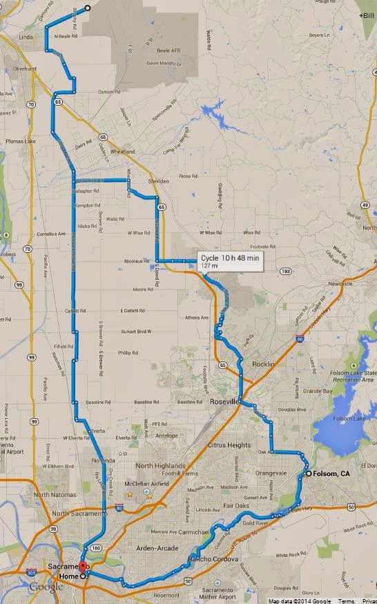

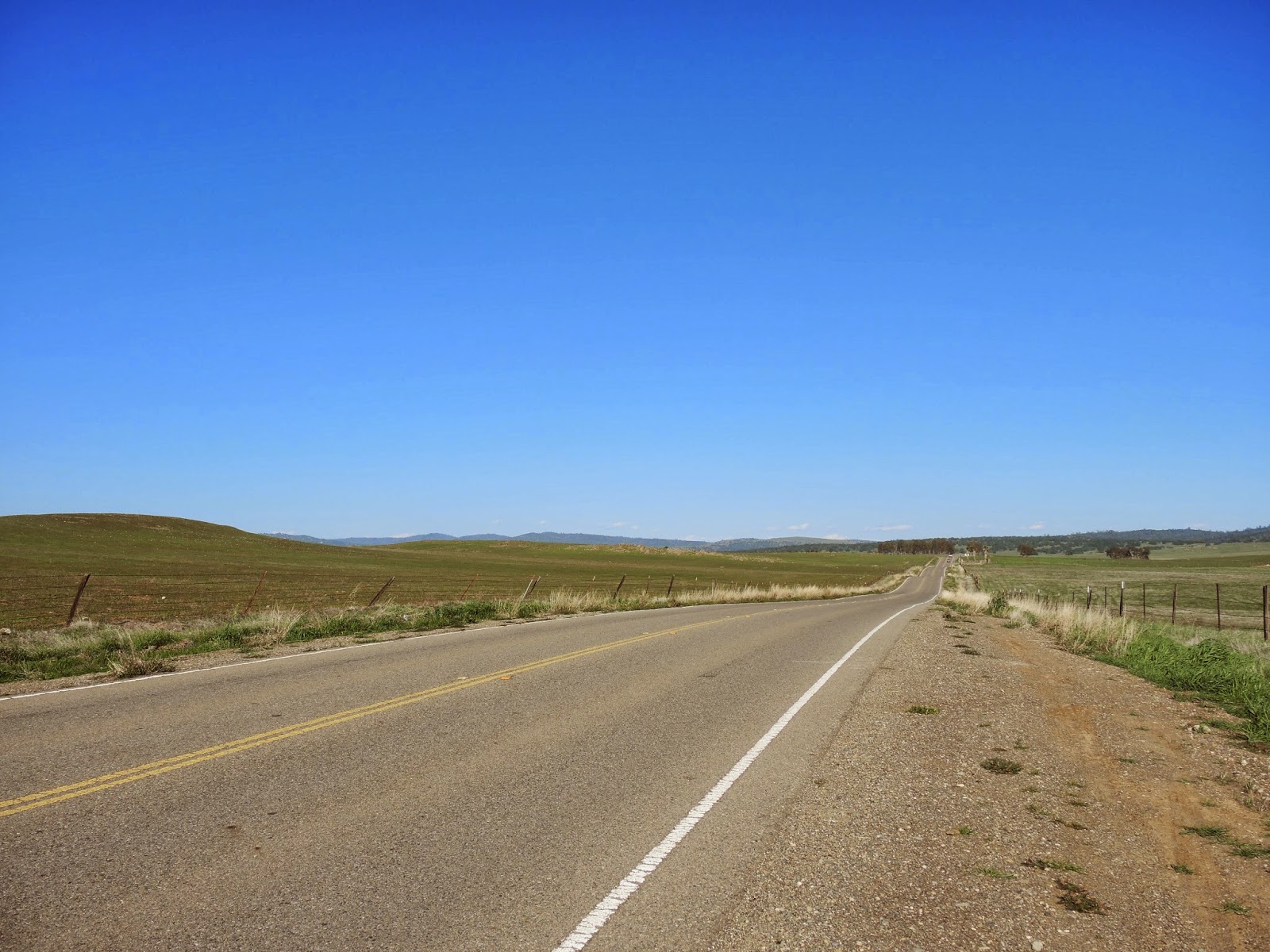
Fifty miles doesn't take all that long to ride so I moseyed around town until about 11 AM when I headed north on the Sacramento Northern Bike Trail all the way till the end in Elverta. The first and only near-miss incident of the trip happened here when the man on a bike in front of me decides to take a sharp left turn immediately after I ring my bell and holler out "on your left". Disc brakes come in handy on a fully loaded bike.
 |
| The Sacramento Northern Bike Trail |
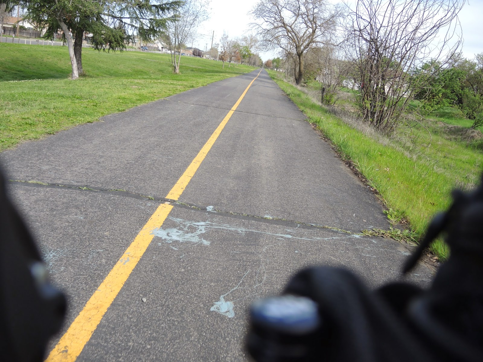
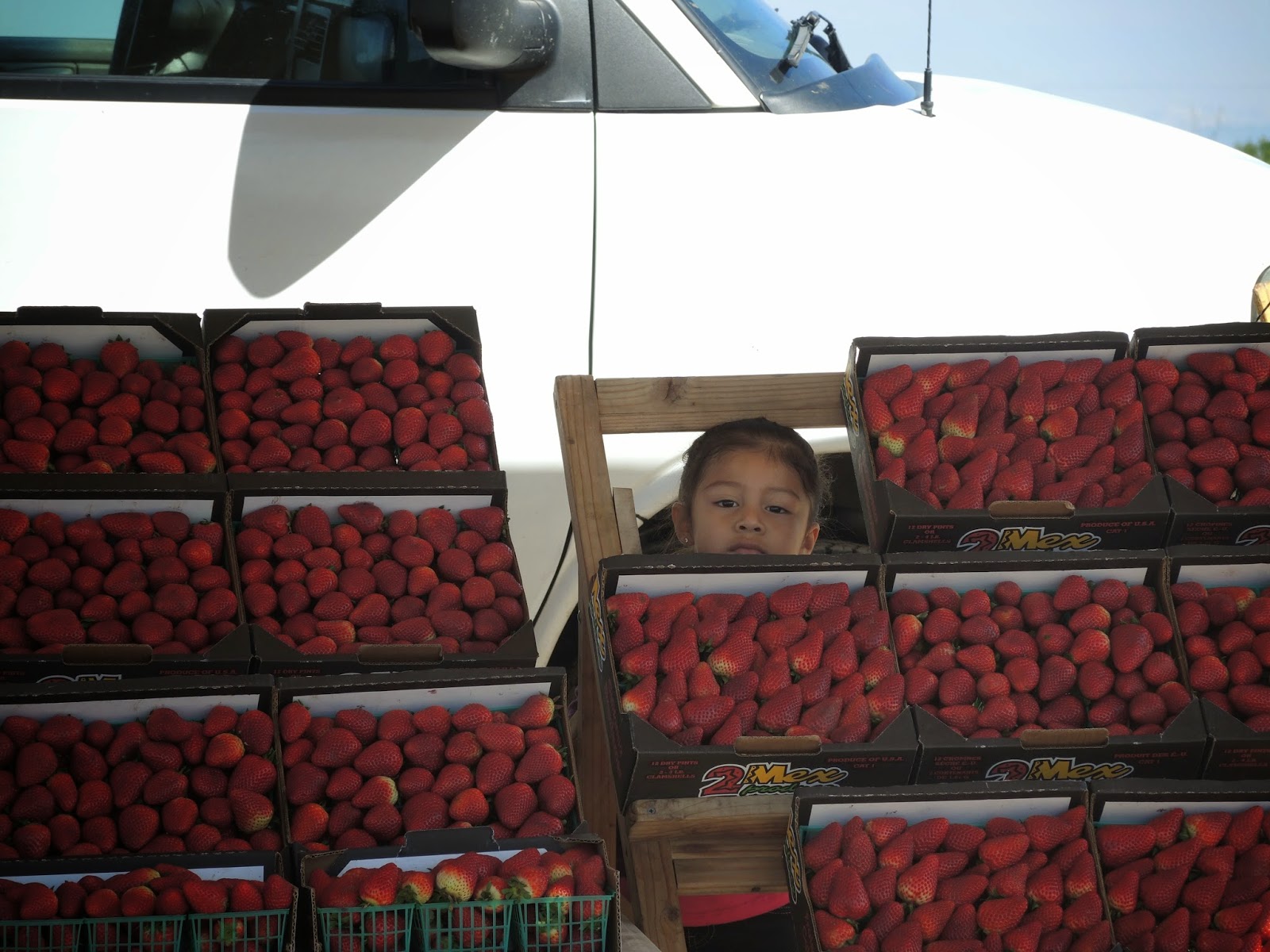
Coming up on the intersection of West Riego Road and Pleasant Grove Road is a sign for fresh strawberries. Yes, please. Two dollars for flavor and moisture in the mouth is well worth it. Strawberries are added to the cockpit and I eat them all up while singing made up songs in horrible Spanish past farms with horses, cows and alpacas, all turning their heads to see what I'm up to.
 |
| The farmer's daughter. |
 |
| Better than gels. |
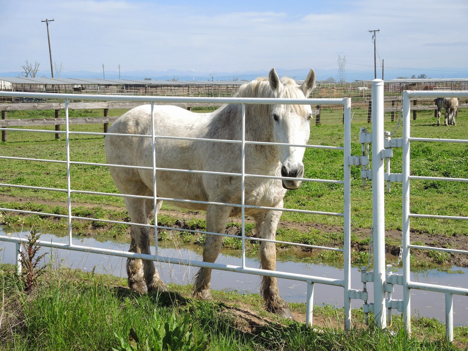 |
| Beautiful horses of different colors and patterns all along the way. |
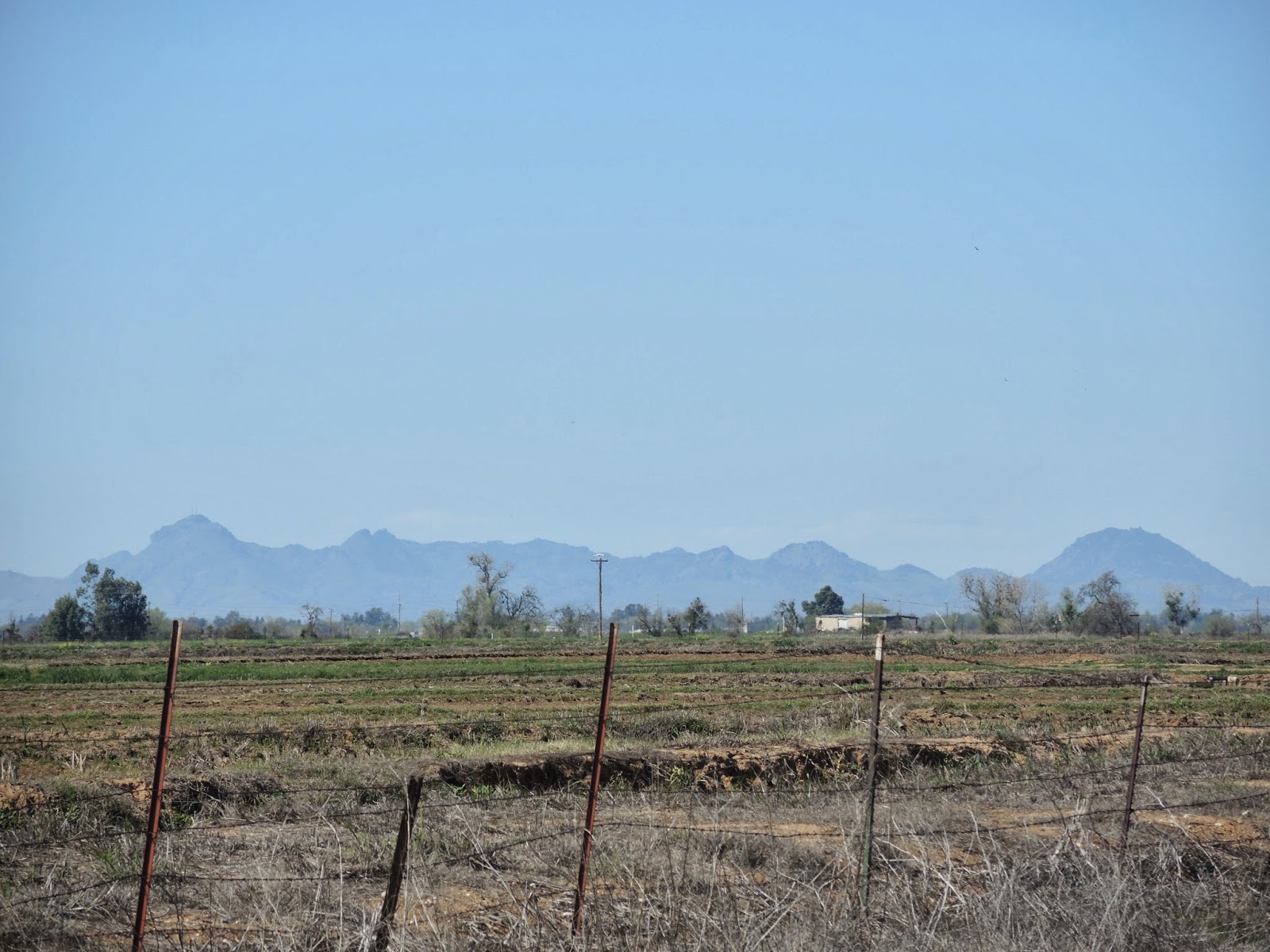
The sun is strong and clouds are minimal as the temperature hovers around 75 degrees, probably higher on the pavement. Long stretches of Pleasant Grove Road are broken up by short sections that jog left and right around property lines before continuing north. As long as the snowy mountains are staying to my right then all I have to do is keep on pedaling, so it goes.
 |
| This would have been a faster way to travel. |
 |
| All that water has to go somewhere. Stopping for a little relief. |
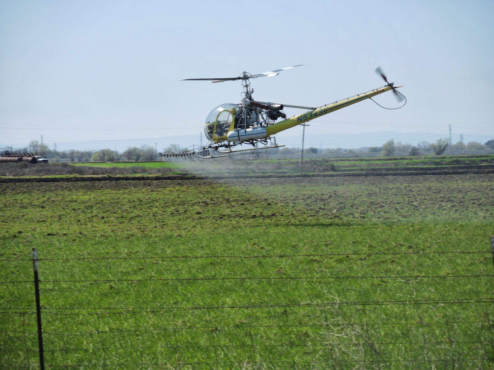
Finally a sign for some mental reassurance that I'm on the right route. I'm feeling a little hungry, but with only an hour of riding to Marysville, why stop now? Well, because I'm hungry. I should have stopped to eat, especially with plenty of daylight remaining. Instead I continue on singing whatever comes to my head and watching the cows watch me as I pedal on down 40 Mile Road. The Sutter Buttes are still in sight and all is very picturesque, even the crop dusting helicopter and plane making their rounds, and then comes along Sleep Train Amphitheater. In the middle of nowhere. Very random.
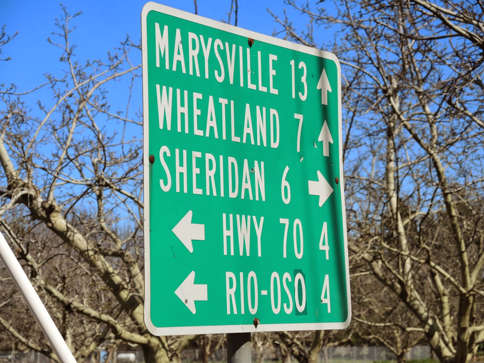 |
| Sign tucked away between walnut orchards showing the way. |
 |
| Looking at me looking at you. |
 |
| The Sutter Buttes, once an active volcano. |
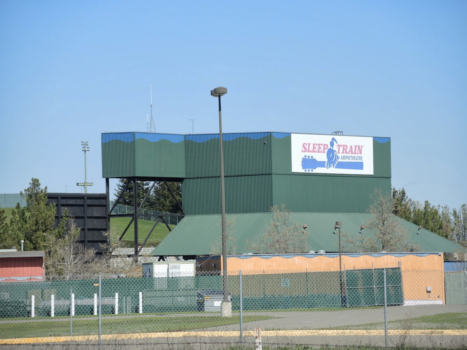 |
| It would have been nice if a concert was going on while riding by. Maybe next time I'll check out who is playing and schedule the ride around it. |
 |
| Most likely not an organic farm. |
 |
| Looping back around for another pass spraying crops. |
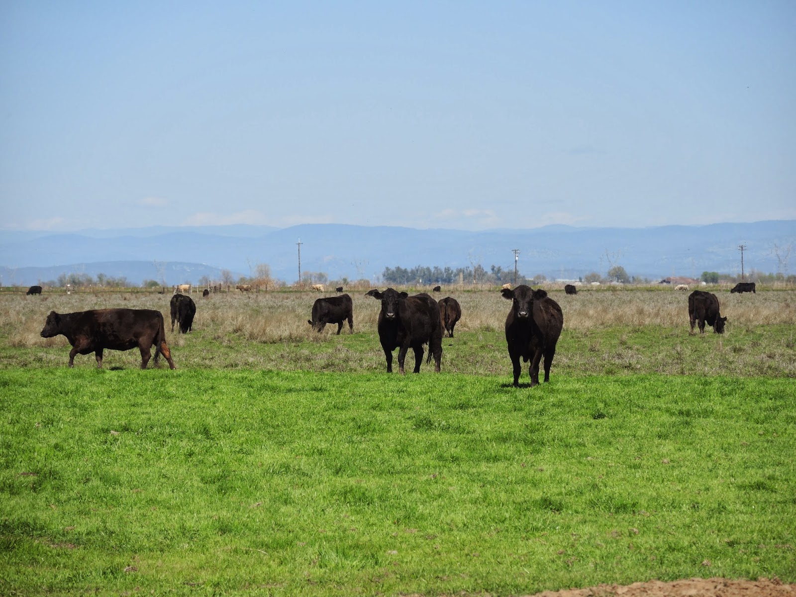
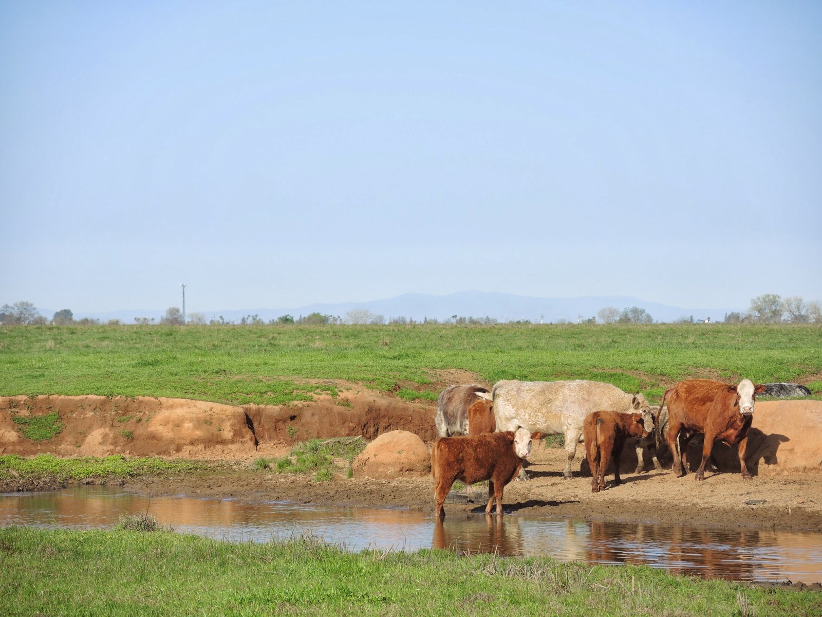
Traffic picks up a little bit near the bridge crossing over Highway 65, mostly cars entering and exiting the freeway, but it is still totally manageable and safe. The road noise dies away quickly as the country roads start back up. Nothing says 'Murica like the solar energy sign posted in front of somebody's home. Some of the biggest cows I've ever seen were hanging out close to their fence so I decided to take their photos. They didn't seem very impressed.
 |
| He probably drives a F-350 around town. |
 |
| Nice earring, future steak. |
 |
| You've got some big balls to be looking at me like that. |
My stomach tells me to stop and eat, so I do. Squeeze tubes will PB&J are very useful for mess-free tortilla sandwiches. I take the sleeping pad out from under the handlebar bag and use it as a seat to eat in comfort while watching cars with all different state license plates with drivers in uniform go by. Beale AFB must be close. This is the beginning of the stretch on Hammonton Smartville Road, which should bring me all the way to my destination for the night.
 |
| Gourmet PB&J. |
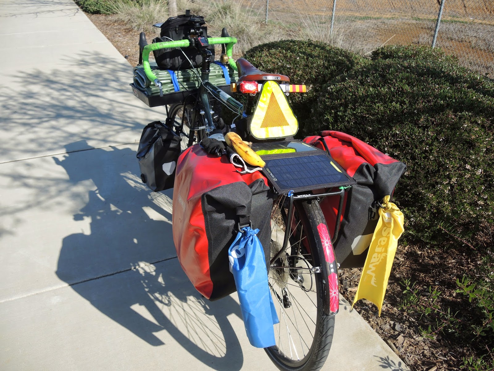 |
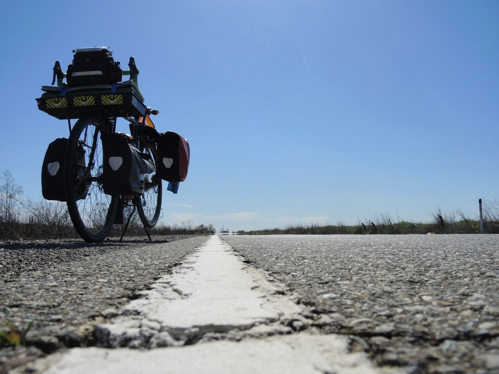
| Loaded back up for the final stretch. |
Downhill with a headwind, pedaling steady to maintain forward progress at 13 mph. The rollers are coming up and continue for as long as the eye can see. The trip odometer is already over 50 miles (thanks Google) and I have my reserve bottle still full of water. Sacramento riding does not prepare the body for hills but I make full use of the gear range and pedal through. Every once in a while a mailbox appears with a street number on it. I keep an eye out for the number of the ranch. All of a sudden I see a mailbox with a number that is higher than I am looking for, so I consult Google on my phone, something that I hate to do when on a bike. Well shit, apparently the address is 5 miles back. I must have passed it without even thinking it would be so close. Turning the bike around I push up the hills I coasted down minutes before and enjoy the downhills where I powered up.
 |
| Rolling hills with Beale AFB on the right and private ranches on the left. |
 |
| Beale AFB is huge. |
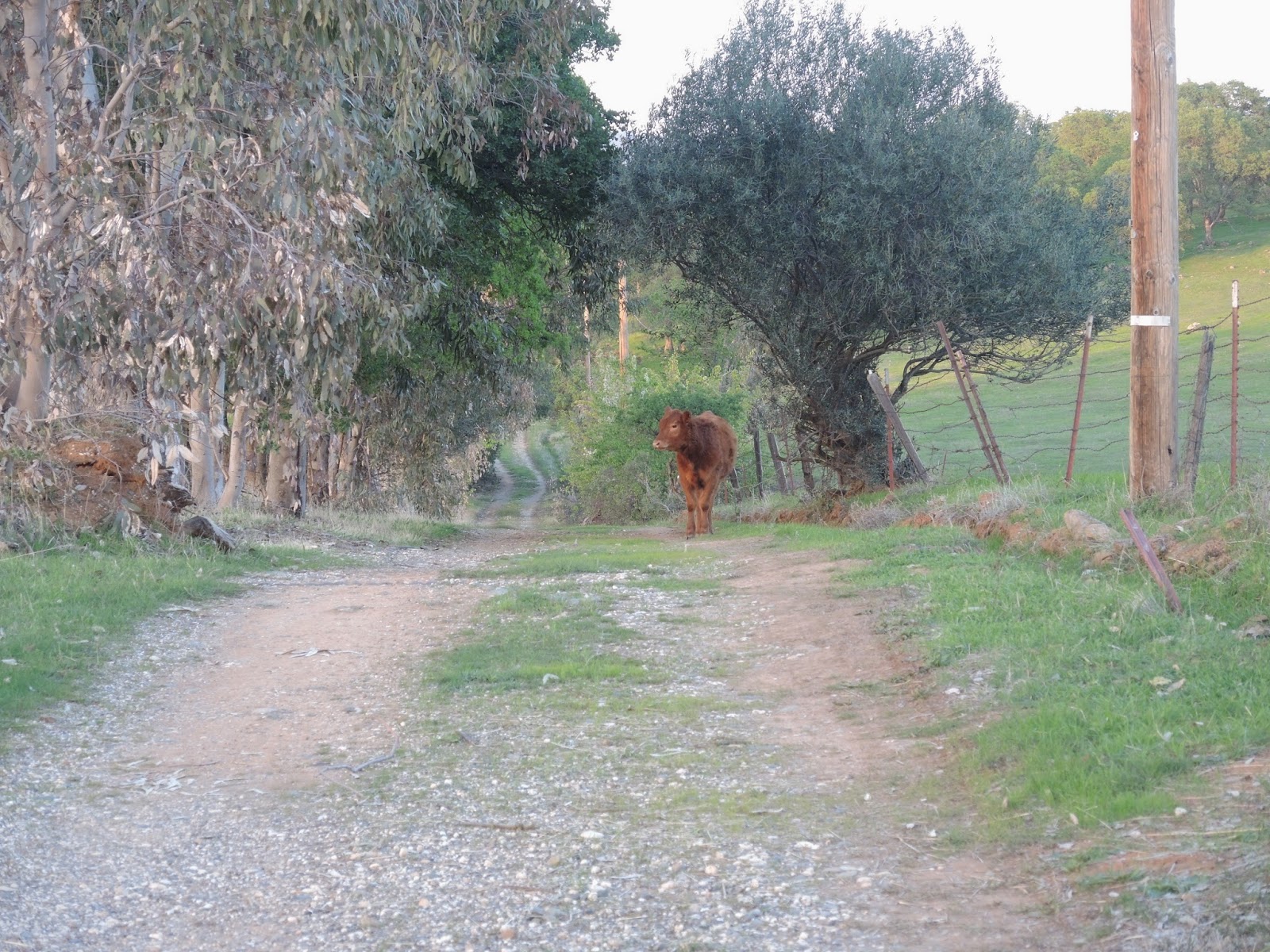
So here I am, realizing that I need to turn around, or so I thought. The screenshot from my phone shows where I was, the blue dot, and where I needed to go, the red icon. Pedaling on I take a break at the Doolittle Road entrance to Beale AFB where there is a generous pull-off on the side of the road. What the hell, may as well consult the Warm Showers app if the phone is booted up. I try calling Joe to help with the confusion and he tells me that Google gets his address wrong and I was actually just a few hundred feet away when I turned around. He was just leaving Marysville so I turn the bike around again and pedal back to where I came from and just a little bit further until the gravel road I was looking for appears. Consider it a bonus 8 miles. Halfway up the driveway, after shooing away the roaming cows, Joe catches up to me and leads the way to his house.
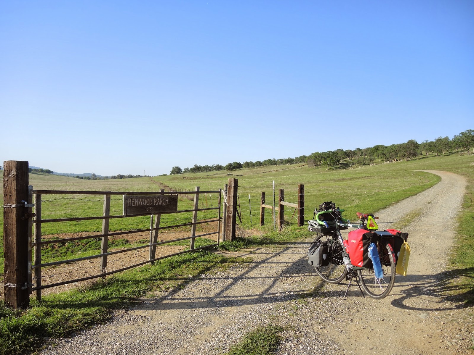 |
| One mile of gravel driveway to go. |
 |
| Moooooooooooooo |
 |
| Fresh tape on the drops. |
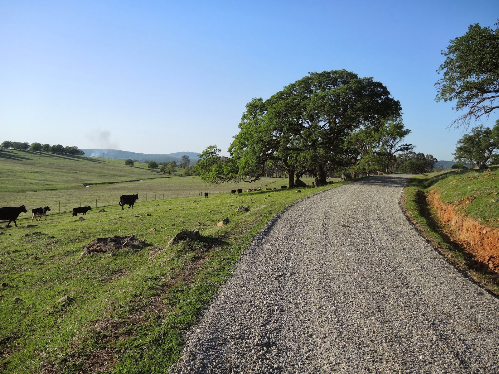
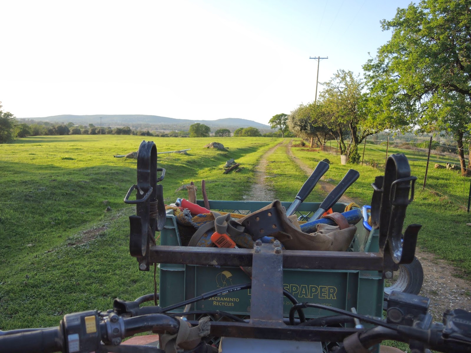
Within minute of meeting Joe I trade the Brooks saddle for a comfy foam ATV seat and follow along for a tour of the 500 acre ranch when the daylight remains. We ride trails past cattle, along old orchards, to cisterns from the 1800s and down to the Yuba River, where Joe has prospected enough gold to make his wedding rings and some other jewelry. After heading back to home base to set up my tent with some daylight we hopped back on the ATVs to the high point of the property to see the sunset over the Sierra Buttes.
 |
| Pressing the thumb is much easier than pedaling. |
 |
| This guy rides above the river all the time. |
 |
| You shouldn't be outside the fence, get back in there. |
 |
| All the 72 miles were well worth it upon seeing this. |
The chicken that was marinating all day inside my steamy front pannier was cooked up with some pasta on the MSR Dragonfly outside and then brought inside to enjoy it on the couch with some bread and olive oil made from Olives grown on the ranch. It doesn't get much more local than that. After chatting and watching some TV I head outside to my tent to get some sleep. Tomorrow will be longer.
The soundtrack of the ranch is just as nice to wake up to as it was to fall asleep to. Cows, frogs, crickets, birds and more all come together to make quite the nice song. Awake at 0700 and on the bike again at 0845. Not the fastest start, but it was a tasty one. I helped Joe cut up some veggies and he scrambled up some eggs to add in. Topping it all off with quinoa and sprouts and a pinch of bee pollen from Joe's hives in my coffee gave me the energy to power through the hills feeling very strong and keeping a respectable pace.
 |
| All vents were open for the night as it only dropped to about 50 and I had a 20 degree down bag. It was steamy. |
 |
| Heading back down the gravel road with plenty of daylight hours ahead of me. |
The camera stayed in my handlebar bag for the first 15 miles of the day as I focused on getting through the hills and back to the flat terrain before it got hilly again later on. As I passed different properties dogs would chase me from one fence line to the next until the next dog took its place. Those little dogs can pack a real punch with loud barks that inspire fast pedaling. Heading back down 40 Mile Road to Bear River Drive the roads are in great condition for low resistance fast rolling.
 |
| Getting chased by guard dogs. |
 |
| This is why I don't fill up water bottles from the streams I come across. |
 |
| The one and only...Raj Mahal? |
 |
| High visibility bike and barely any cars to see it from behind. |
 |
| The owners of the horse live down the road and let this lady ride it for exercise around the 3 mile perimeter of the farm. |
Part of the route I mapped out goes on gravel pathways that lead to paved bike trails to Rocklin. From there on it's Corporate America and 4/6 lane roads, all wonderfully paved, from shopping center to gas station to shopping center. Three kids were scooting near the dead end because they "live in the apartments right over there and aren't allowed to ride anywhere else". They were very interested in my trip and asked questions about what I drink, where I eat, how I sleep and why I'm even out here in the first place. i do my best to answer and hopefully inspire them to go ask their parents for a bike. As I disappeared on the gravel trail I looked back to see them watching me pedal along.
 |
| Good company. |
The roads go on and on. I decide to stop and eat when I get to Folsom but the smell of hot dogs on a grill up ahead in Roseville was too good to pass up. Two dollars and a few bites later and I was back on the road, which seemed to be never ending, to get to Auburn Folsom Road. Finally the turnoff from Oak Ave appears and the "end" is near, kinda. Still another 30 miles to go on the ARBT to Sacramento and I'm already approaching 60 miles for the day. Light rail is for the weak, I must go on. I stop next to a few roadies wearing matching kits putting their bikes back on their car to ask how to get back on the bike trail and they ask details about my trip and then proceed to try and lift my bike. This isn't carbon, don't be shy, it won't crack. They were notably impressed at the mileage I covered and wished safe travels for the rest of the ride home.
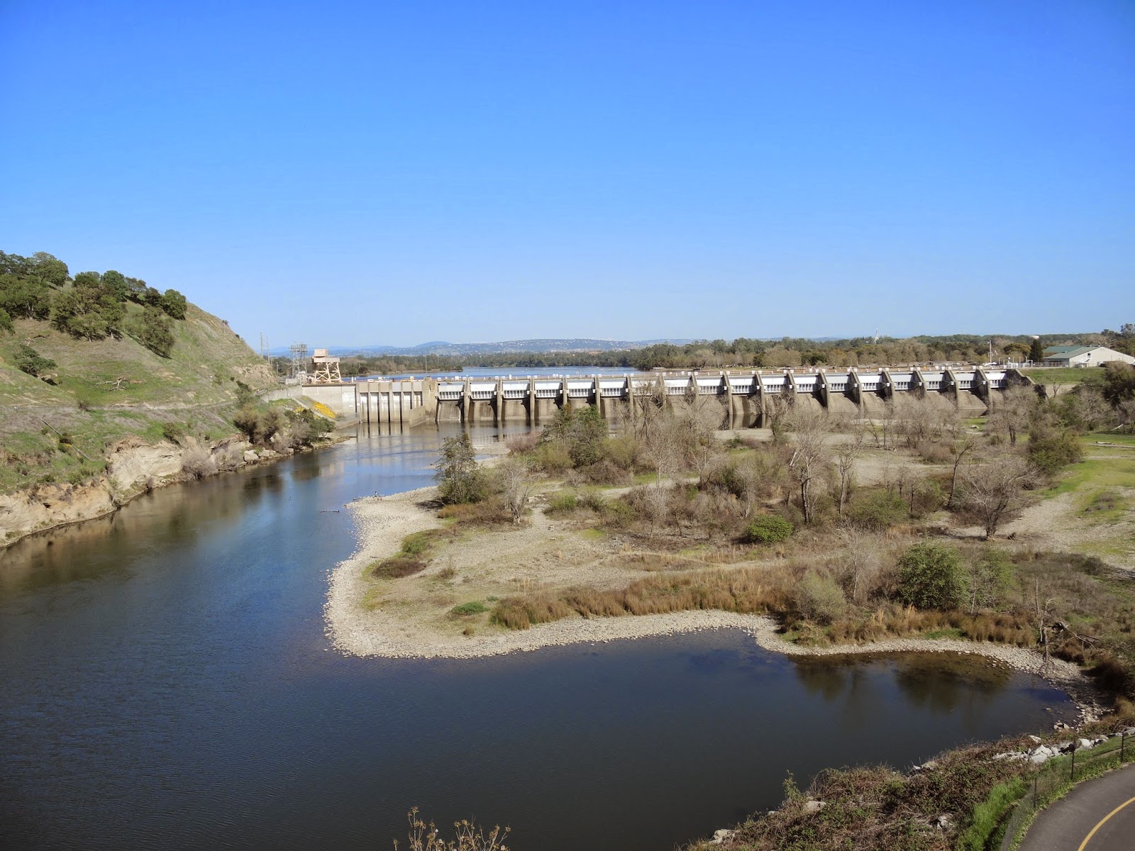 |
| Folsom dam. |
The last 25 miles were the longest of the entire ride. I stopped to rest and make a couple more PB&J tortillas once I got back on the familiar part of the trail at Nimbus Dam and then continued on. I checked my phone to see a text from Kenny asking if I was back yet when I was about 20 miles out from Sacramento and he decided to ride out and finish up the last section of the trail with me before grabbing a beer and fries at a local bar to refuel my body.
Good times. I'd say this trip qualifies at Type 1 fun. Add a couple of flats in there and some more hills and it's easily Type 2.


